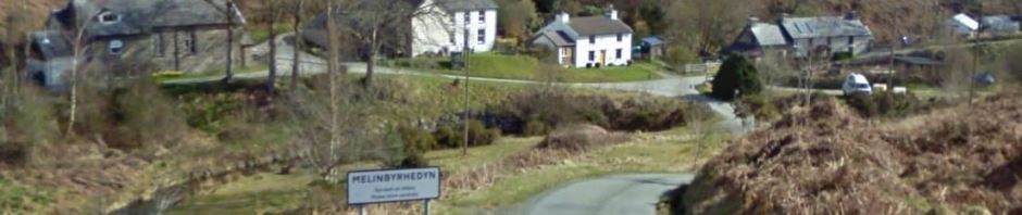
I came across this Web site yesterday which has old maps of Melinbyrhedyn from 1888-1913 and 1955-1961. . Click on these images to view two-layer, interactive maps which can be scrolled and zoomed:-
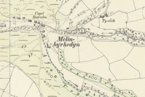
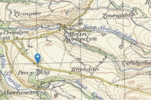
The first one is an older map covering the period 1888-1913 and the second one is slightly more up-to-date, covering the period 1955-1961. Can you see your house on either of these? Please let me know!
 This valuable resource is available courtesy of ARCHI Information Systems. If you’ve found this interesting or useful, please consider making a small donation of £3 to help fund their work.